Directions From Saskatoon Airport
- Drive southwest from airport on Airport Drive to 45th St. W ( .7 km or .5 miles )
- Turn left on 45th St. W and drive east to Ave. C N ( .9 km or .6 miles )
- Turn left on Ave. C N and drive north to the ramp for highway SK-11 North. ( .8 km or .5 miles)
- Take right turn onto ramp and circle around to Idylwyld Drive (same as Highway SK-11)
- Drive north on Highway 11 for 4.1 km or 2.6 miles – Highway 11 will angle to the right
- Stay on Highway 11 – signs will indicate it is the road to Prince Albert
- Continue driving north on Highway 11 until road to “Living Waters Camp” ( 97 km or 60 miles )
- Turn right onto gravel road until sign at entrance of “Living Waters Camp” ( .7 km or .4 miles )
- Turn left into camp property – follow sandy road into campground (1 km or .6 mile )
[ print these directions ] [ click for map from Saskatoon airport ] [ click for map into campground ]
Directions From Prince Albert
- From the corner of 2nd Ave W and Marquis Rd. at the Canadian Tire
- Drive south on 2nd Ave. W to exit for Highway 11 ( 3.9 km or 2.4 miles )
- Take right exit onto Highway 11 and drive south until road to “Living Waters Camp” ( 29.4 km or 18.2 miles )
(You will go 6.3 km or 3.9 miles south of MacDowall) - Turn left onto gravel road until sign at entrance of “Living Waters Camp” ( .7 km or .4 miles )
- Turn left into camp property – follow sandy road into campground (1 km or .6 mile )
[ print these directions ] [ click for map from Prince Albert ] [ click for map into campground ]
Area Maps
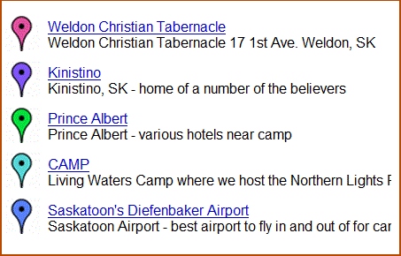
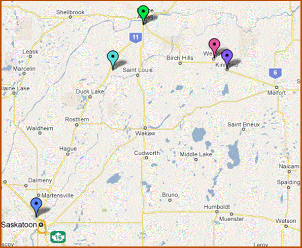
Here are a few links to maps showing the Saskatchewan area that have to do with Weldon Christian Tabernacle and the Northern Lights Family Camp:

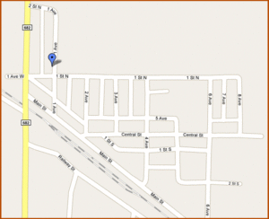
WELDON, SK – showing where the church is in the village


GPS COOORDINATES
Here are the coordinates to the camp and to our church:
Living Waters Camp site: N52 56.805′ W106 01.299′
Turnoff from highway: N52 57.287′ W106 02.077′
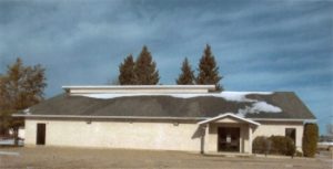
Weldon Christian Tabernacle: N53 00.580′ W105 08.806′
